The morning we left Nuodeng, we had no particular plan. The destination was the Nujiang Grand Canyon. On the map the straight-line distance looked manageable. But maps never tell you how steep the mountains are.
After leaving Nuodeng's cobblestones, the road quickly became unmarked rural track. GPS lost its signal somewhere around a bend, and the route shown on the navigation app — a theoretically existing mountain path — and the actual road surface under our wheels had parted ways. Hwan put the phone down and said: "Forget it, follow that tractor ahead." This turned out to be the best decision of the whole trip.
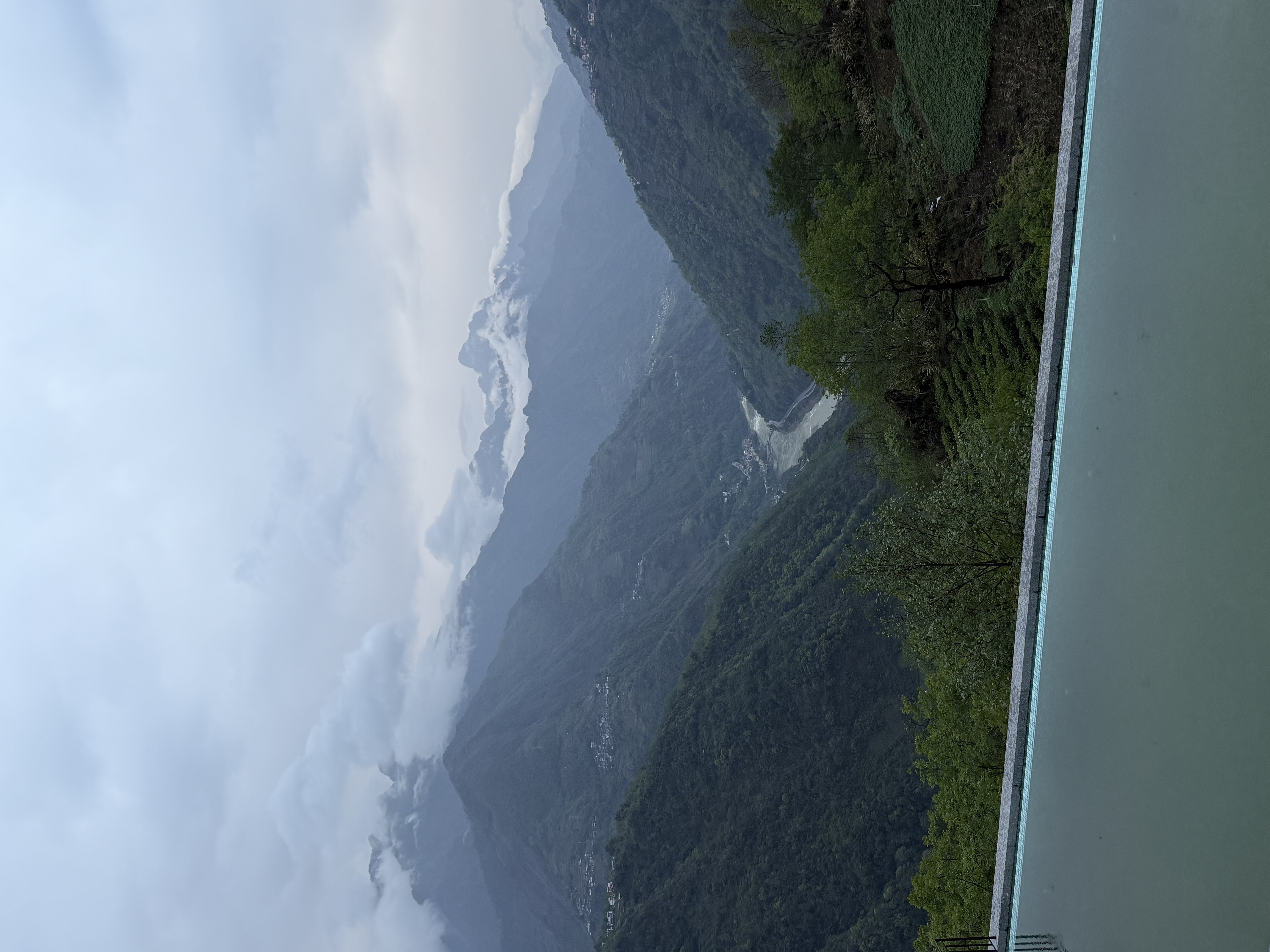
The first mountain was Caojian Liangzi — part of the Nushan range. From the valley floor to the summit, hairpin bends came one after another, each bend narrow enough for only one vehicle to pass. Most of the time I crept along the rock face while Hwan confirmed no oncoming traffic before I advanced. Altitude rose, temperature fell, and by the summit the cloud layer had consumed the entire view — ten metres of visibility ahead. I reduced speed to 20km/h, closed the windows, and the only sounds inside the car were the engine and the tyres rolling over loose stone.
Then, in the fog, a shape appeared. Several people, several horses, loads strapped to the horses' backs, walking slowly toward us from ahead. Lisu ethnic minority. This is their land, has been for centuries. They glanced at our car and kept walking, disappearing back into the mist. The whole encounter lasted less than thirty seconds. Hwan said nothing. Neither did I.
On the other side of the mountain: the Bijiang River.
The Bijiang suspension bridge is the kind of thing you have seen in films but do not understand until you are on it. Steel cables, wooden planks, the river roaring dozens of metres below. When I drove the SUV onto it, the whole bridge began to sway — not violently, but with a slow, rhythmic movement, as if the bridge were breathing. I did not know the rated load of this bridge and chose not to calculate. Hwan said: "This is normal, it means the bridge is alive." I kept driving, eyes fixed on the far end.
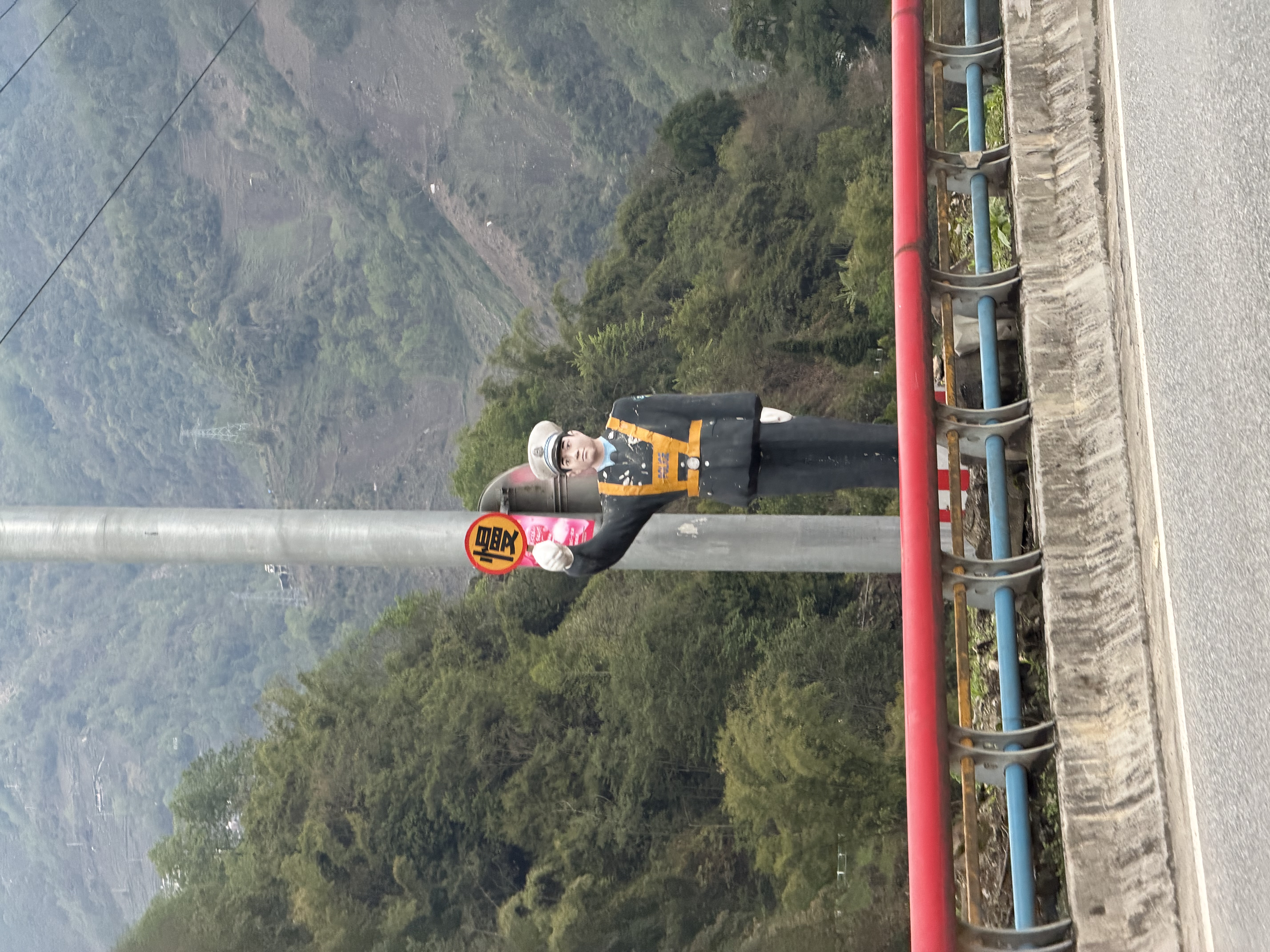
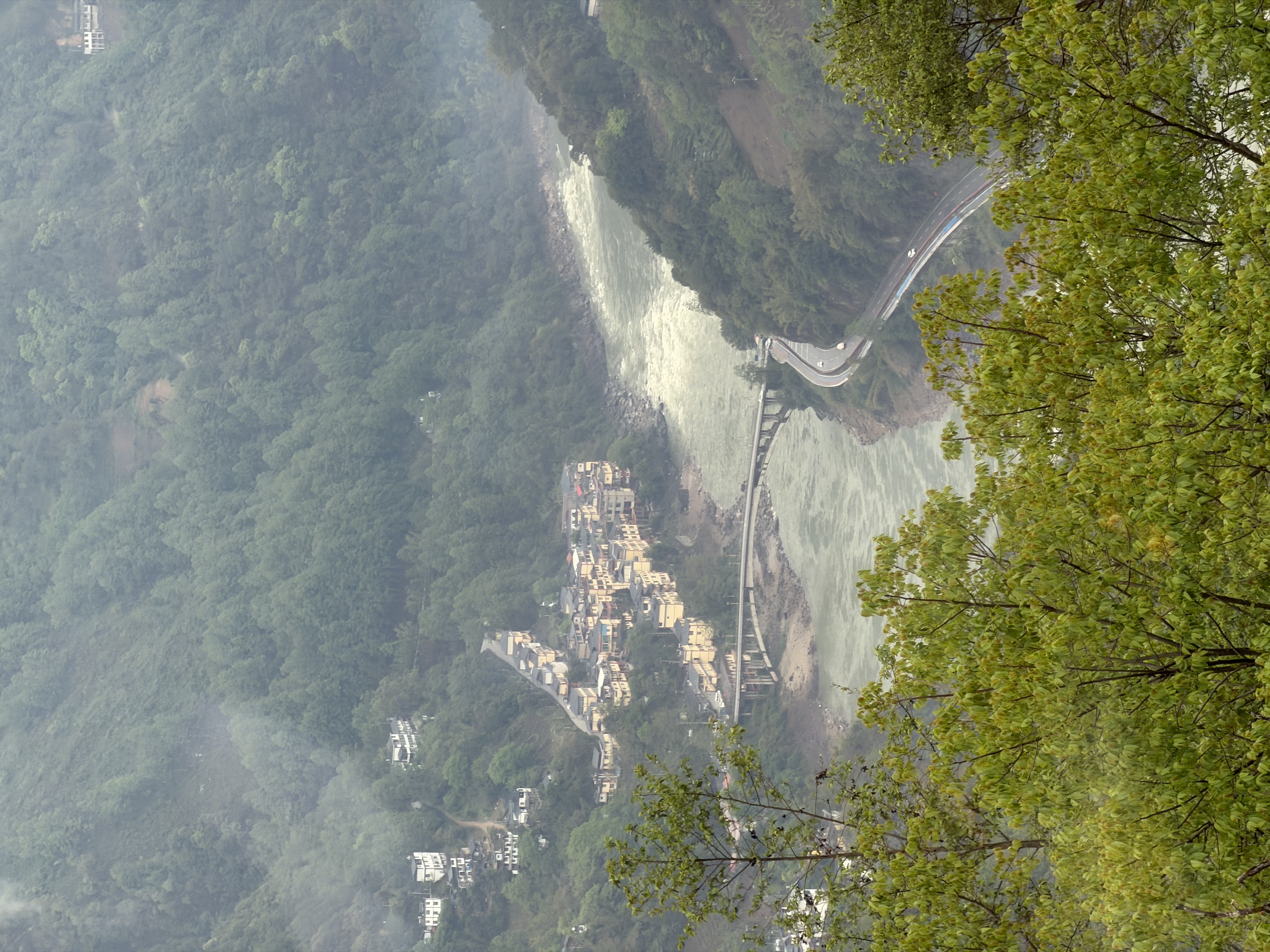
After crossing the Bijiang, we entered a stretch that hit me with genuine geographical vertigo. From this point, we were crossing not just a mountain but a watershed — the dividing line between the Lancang River basin (Mekong) and the Nu River basin (Salween). The Lancang flows south and becomes the Mekong, reaching Vietnam, Cambodia, and Thailand before entering the South China Sea. The Nu River flows south and becomes the Salween, crossing Myanmar into the Indian Ocean. These two rivers flow parallel within kilometres of each other and never meet. Crossing this ridge meant leaving one river's world and entering another.
Cross that watershed and you've left the Mekong's world. You're in the Salween's now — a different river, a different sky.
The Three Parallel Rivers region — where the Nu (Salween), Lancang (Mekong), and Jinsha (upper Yangtze) flow within kilometres of each other — is a UNESCO World Heritage site and one of the most biologically diverse landscapes on earth. Within a 100-kilometre corridor, the elevation shifts from subtropical river valley to alpine glacier zone. Every altitude band, every river terrace, every forest type carries its own microbial community. The communities living along this road have been co-existing with that biological diversity for thousands of years — and it shows in what they grow, what they eat, and how long they do both.
From Nuodeng to 石月亮 — Stone Moon Lake viewpoint at the edge of the Nujiang canyon — I calculated: approximately eight hours. Half of that on mountain roads without guardrails. In the second half, the fuel warning light came on, because there was not a single service station on the entire route. We eventually filled the tank from a private jerrycan sold by a roadside farmer at slightly above market price. I thought the premium was fair.
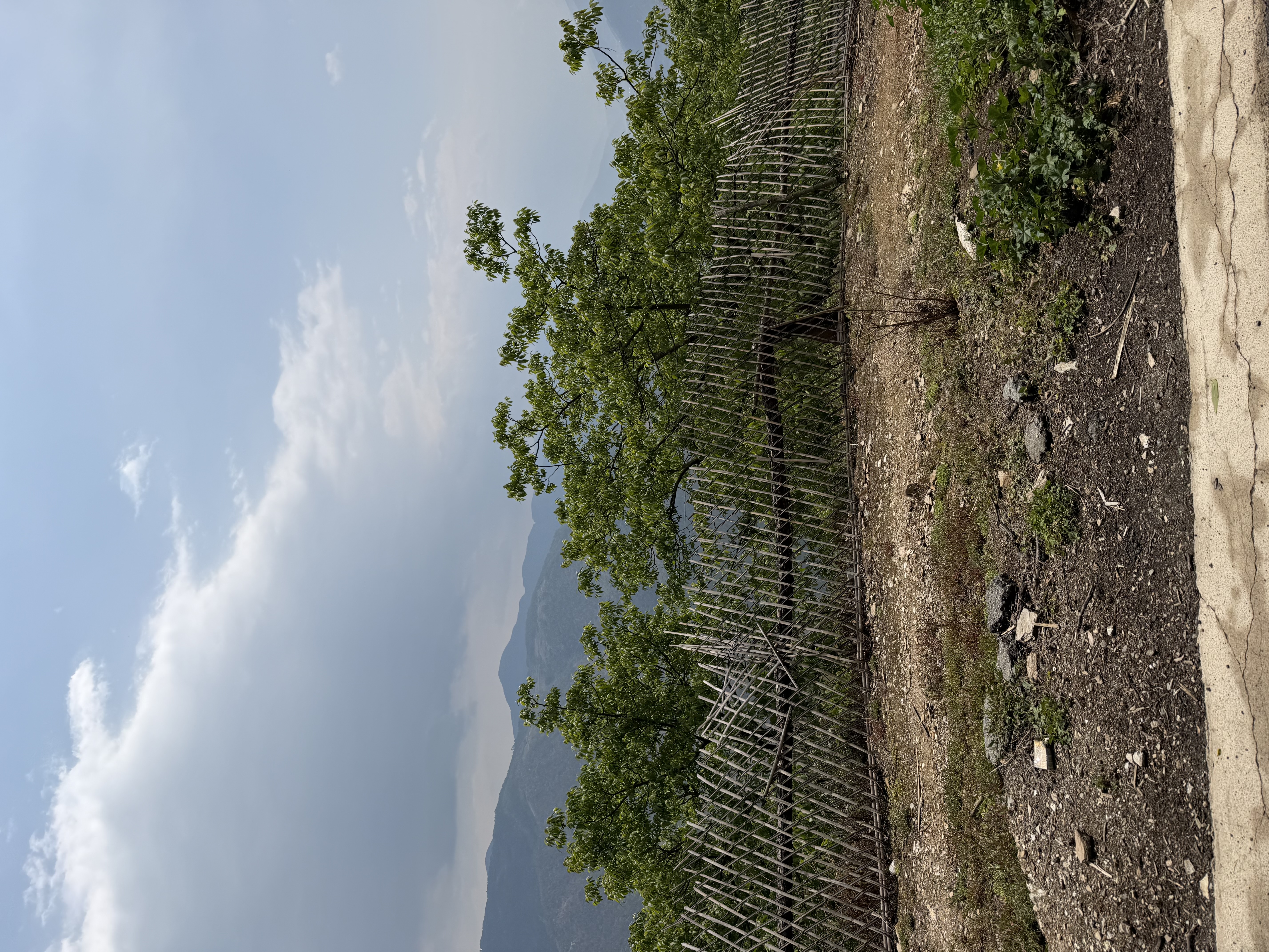
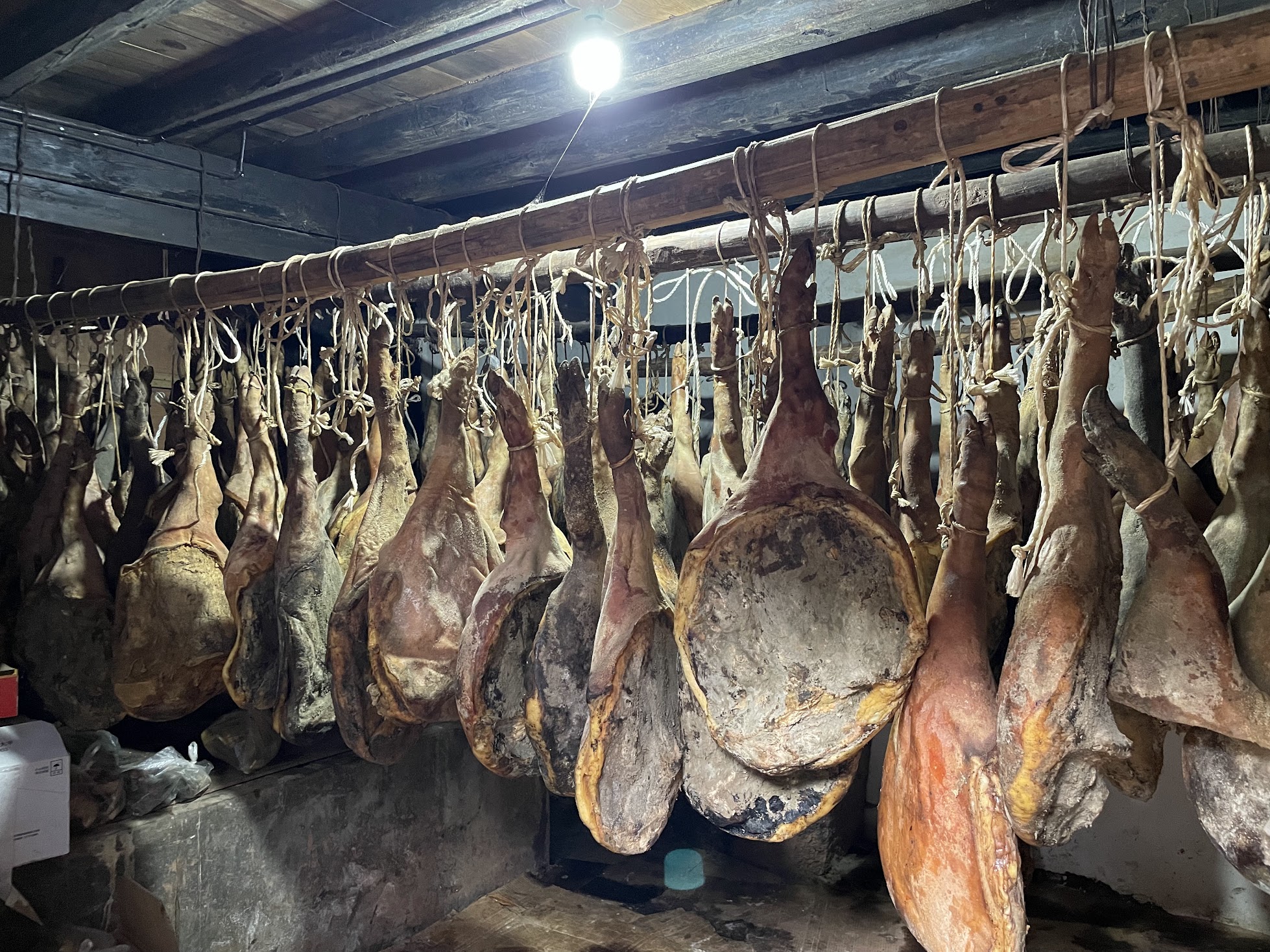
Along this stretch, the road cuts through walnut orchards — the same walnuts that feed the Nuodeng pigs, grown on terraced fields carved from the canyon walls. The Lisu people who have farmed these slopes for centuries ate what the landscape offered: highland root vegetables, river fish, foraged mountain herbs, smoked and dried meats. No supermarket, no supply chain, no ingredient list. Diets shaped by geography and season rather than industrial convenience consistently show higher gut microbial diversity than modern urban diets. The people living in these valleys were not following a health protocol. They were just eating.
The air in the Nujiang canyon is among the cleanest in China. No heavy industry for hundreds of kilometres. Very low agricultural chemical use. Dense forest cover on both canyon walls. Researchers studying forest and mountain air microbiomes consistently find a wider range of airborne organisms — including soil bacterial families associated with reduced inflammation and improved mood — compared to urban environments. Standing at the edge of that canyon as the light changed, breathing that air, I was not thinking about microbiology. But the microbiology was there.
At dusk, the Nujiang Grand Canyon is the kind of view that empties language. Near-vertical cliff walls on both sides, the river thundering hundreds of metres below, and the sky reduced to a narrow strip of gold through the canyon cut. Hwan took many photographs. I stood there and did not take any. Some things become smaller when you put them through a lens.
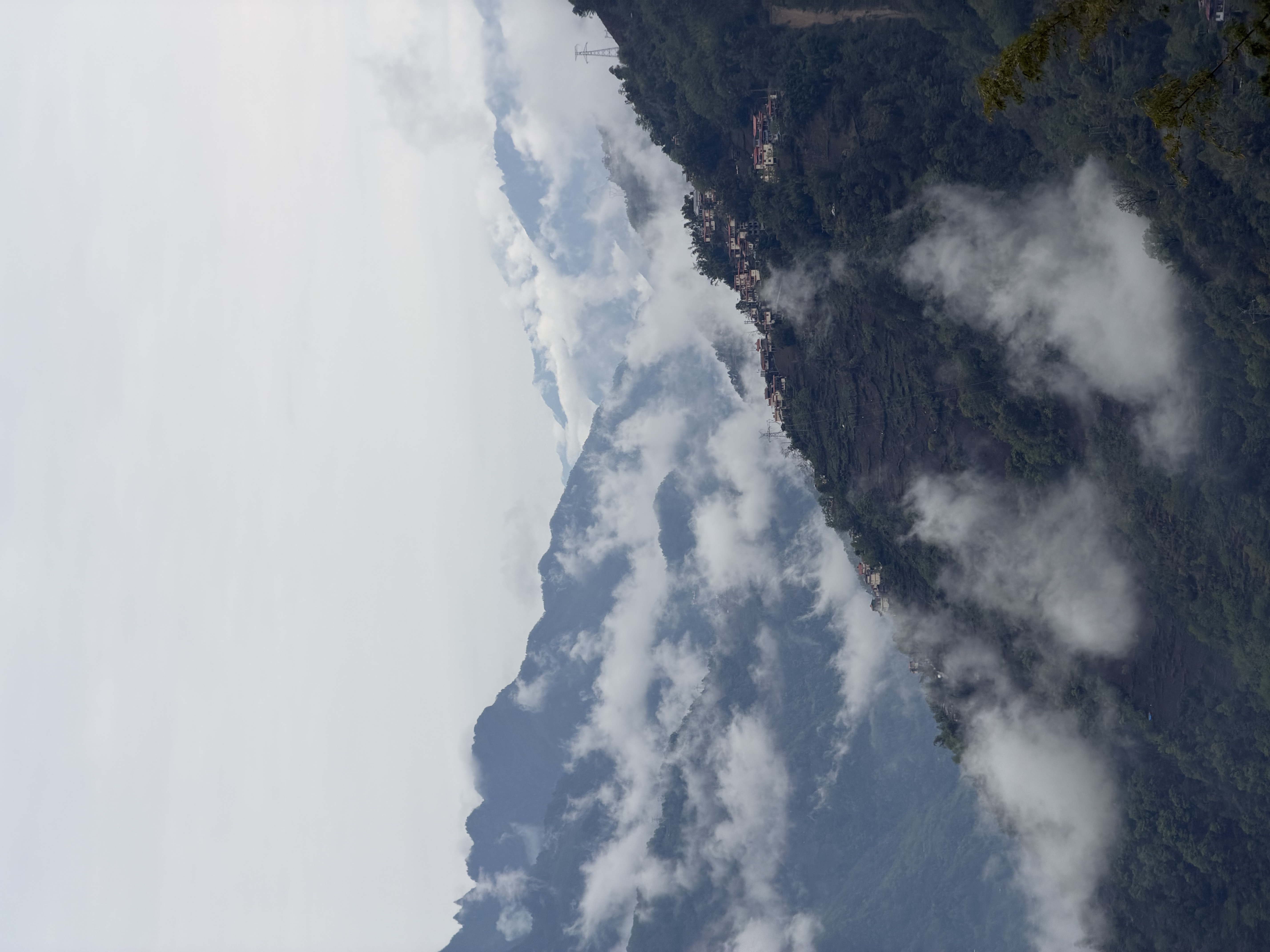
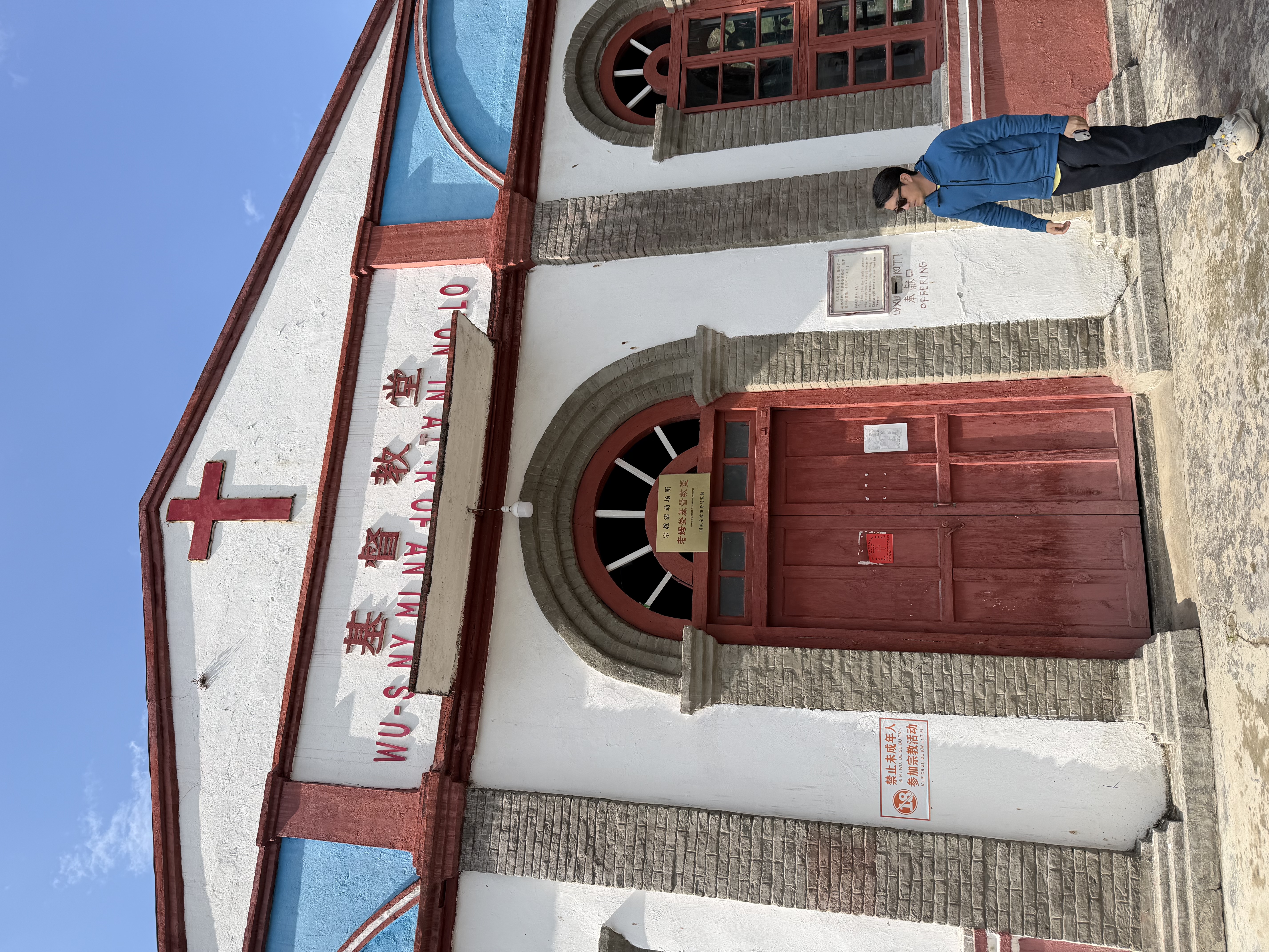
G219 reminded me of Nuodeng. Both are the kind of place that does not advertise itself — you have to go looking, then judge the value yourself. The next stop along the Nujiang had more waiting to be found.
G219 is being paved section by section. New hotels are appearing in the canyon villages. Laomudeng has already tipped. The window for experiencing this as a living culture rather than a performance of one is not infinite — and we know it. This is part of why we document what we find, support the producers here, and keep coming back. Not to extract something from these places, but to stay connected to them while they remain intact. More on that in the Experience section.